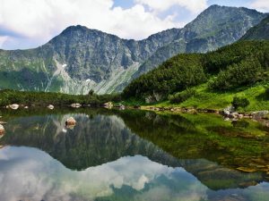
Rohácske plesá tarns region
This is a moderately difficult hike that starts in Zverovka and stretches through the Roháčska dolina and Spálená dolina valleys. This 9 km long route with an estimated duration of five and a half hours, is marked with red markers and offers a wonderful view of the lakes found in Orava’s natural environment.
Skorušina
There are many hiking trails to the top of Skorušina, and you have the option of choosing from the easy to the most demanding. You can go from Habovka or Zábiedovo following the blue and red markers, from Trstená following the green markers, from Brezovica following the yellow, green and red markers, or from Oravíce following the red trail markers. Skorušina is the highest peak in the Skorušinské vrchy mountains. From the observation tower at the top there is a beautiful view of the panorama of the entire Orava region.
Juráňova dolina valley
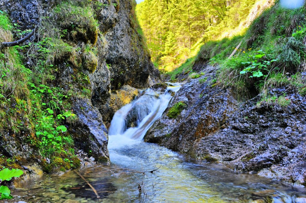
The hike through the Juráňova dolina valley is not difficult, even families with children can do it. Juráňov potok stream flows through the valley, whose activity has significantly contributed to its special character. The most attractive lower part of the valley is called Tiesňava and is characterized by steep rock walls and formations called giant “pots”. A marked red hiking trail leads through the gorges from Oravíce. Along its route, there are several educational panels dedicated to the history, flora, fauna and iron ore mining of the area.

Orava also offers dozens of kilometres of cycling trails and routes. Discover them!